WeatherOfficial
Fay remnants become less organised, NHC says
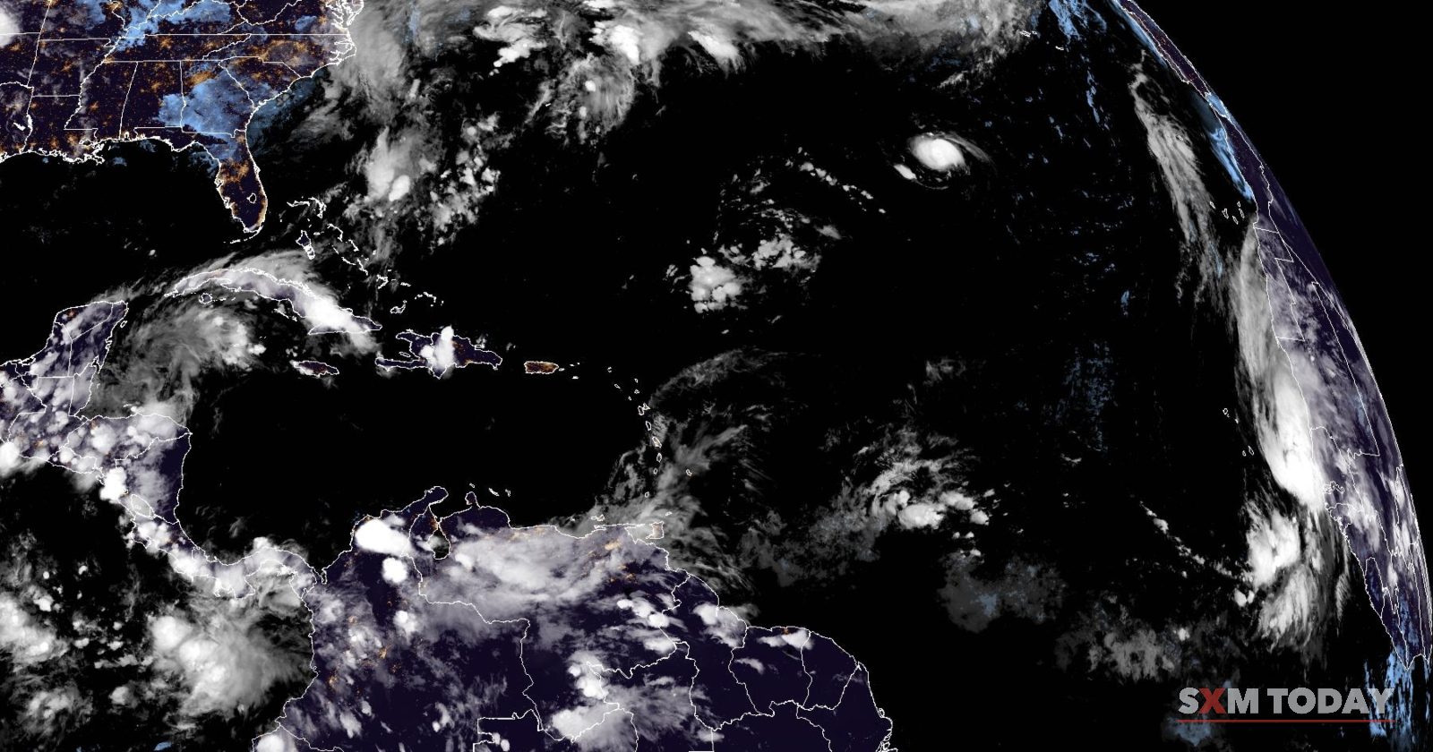
The remnants of former Tropical Storm Fay were southeast of Bermuda on Friday 2 October, with near-zero redevelopment odds over 48 hours.

On Friday 2 October, the remnants of former Tropical Storm Fay were several hundred miles southeast of Bermuda, according to the National Hurricane Center. The agency said showers and thunderstorms associated with the system had become less organised since Thursday 1 October.
No further development was expected as the remnants moved north-northwest at 5 to 10 mph east of Bermuda, the National Hurricane Center said. It put the chance of formation over the next 48 hours at low, near 0%.
Photo: CIRA/NOAA · Public domain · cropped, SXM Today mark added